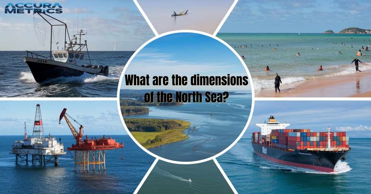
The North Sea is one of the most important bodies of water in Europe, both geographically and economically. Stretching across northern Europe, it has played a vital role in history, shipping, fishing, and energy production. With its rich natural resources and diverse ecosystems, the North Sea is both a geographical marvel and a critical hub for international trade.
This article will provide an in depth exploration of the dimensions of the North Sea, including its size, depth, boundaries, subregions, and economic significance. We will also delve into the historical evolution of this iconic sea and its environmental concerns.
General Overview of the North Sea
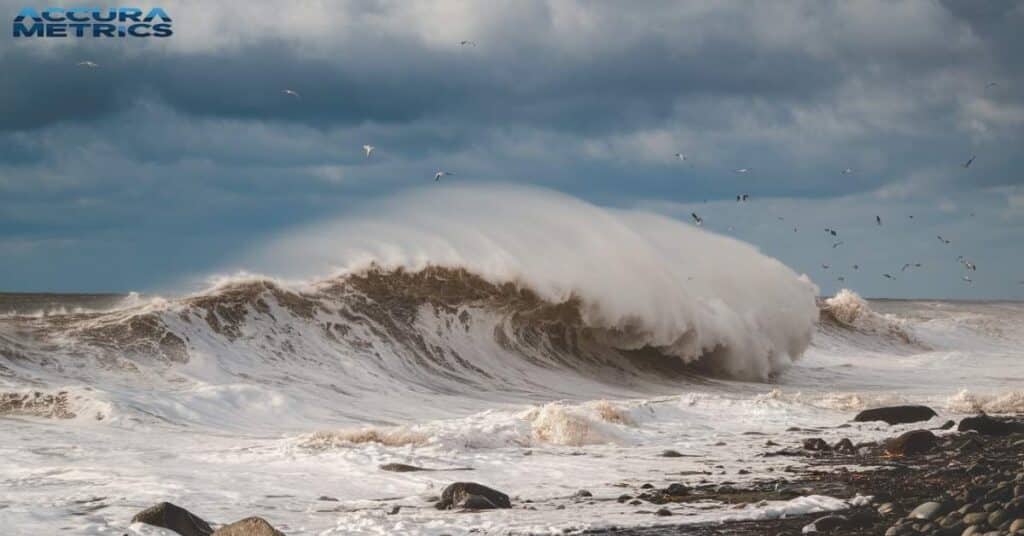
It lies between the United Kingdom, Norway, Denmark, Germany, the Netherlands, and Belgium, acting as a natural border between these nations. It covers an area of around 570,000 square kilometers, making it one of Europe’s largest seas.
Known for its often turbulent waters and crucial shipping lanes, the North Sea has been an essential part of European trade and politics for centuries.
Key Facts
- Geographical Location: Located in the northern part of Europe, the North Sea connects to the Atlantic Ocean through the English Channel to the west and the Skagerrak to the north.
- Neighboring Countries: The North Sea borders six countries: United Kingdom, Norway, Denmark, Germany, Netherlands, and Belgium.
- Economic Importance: The North Sea is home to vast reserves of oil and natural gas, which have been vital for the energy sector, particularly for countries like the United Kingdom and Norway.
Dimensions of the North Sea
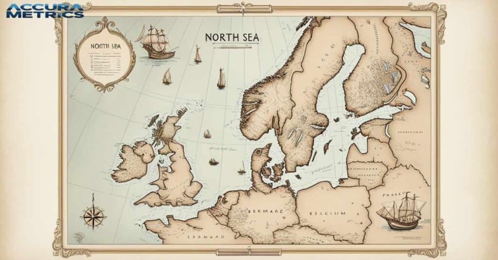
Understanding the physical dimensions of the Sea helps put into perspective its importance for shipping, fishing, and natural resource extraction.
| Country | Area Covered (sq km) | Famous Beaches | Coastline Length (km) | Major Ports |
| United Kingdom | Approx. 230,000 | Blackpool, Brighton, Scarborough | 12,000 | London, Aberdeen, Grimsby |
| Norway | Approx. 60,000 | Lofoten Islands, Sandefjord, Stavanger | 25,148 | Bergen, Stavanger, Oslo |
| Denmark | Approx. 40,000 | Skagen, Blokhus, Vesterhavet | 7,314 | Copenhagen, Esbjerg, Aalborg |
| Germany | Approx. 60,000 | Sylt, St. Peter-Ording, Norderney | 2,389 | Hamburg, Bremen, Wilhelmshaven |
| Netherlands | Approx. 50,000 | Scheveningen, Zandvoort, Noordwijk | 451 | Rotterdam, Amsterdam, The Hague |
| Belgium | Approx. 10,000 | Oostende, Blankenberge, Nieuwpoort | 67 | Zeebrugge, Antwerp |
Key Highlights:
- United Kingdom: The UK’s coastline along the North Sea is extensive, with iconic beaches like Blackpool and Brighton. It has a large number of ports, crucial for trade and tourism.
- Norway: Norway’s coastline is highly rugged with famous islands and beaches like those in the Lofoten Islands. Its ports, including Bergen and Oslo, are key to international shipping and oil industries.
- Denmark: Denmark has a relatively shorter North Sea coastline, but beaches such as Skagen are famous for their natural beauty. Esbjerg and Aalborg are significant ports in Denmark.
- Germany: The coastline in Germany is known for sandy beaches like Sylt and Norderney. The major ports in Germany, especially Hamburg, handle a significant amount of trade.
- Netherlands: The Netherlands’ beaches along the North Sea are some of the most visited, such as Scheveningen and Zandvoort. Rotterdam’s port is one of the busiest in Europe.
- Belgium: Belgium has a small but beautiful section of coastline with famous beaches like Oostende. The port of Zeebrugge plays a significant role in Belgium’s trade.
Length of the North Sea
It stretches approximately 1,000 kilometers (621 miles) from the northernmost point in Norway to its southernmost reaches along the coasts of the Netherlands.
This expansive length spans multiple countries, making it a central waterway for international trade and transport. To give you a clearer sense of its scale, the length is roughly equivalent to the distance from London to Scotland’s northern coast.
Width of the North Sea
The width of the Sea varies depending on where you measure it. At its widest point, from the coast of Denmark to the United Kingdom, it measures around 580 kilometers (360 miles). This expanse is crucial for shipping and maritime industries, allowing vessels to travel between key European ports.
Area of the North Sea
The total area of is approximately 570,000 square kilometers (220,000 square miles). The North Sea borders several important bodies of water. To the east, it is next to the Baltic Sea. To the southwest, it is connected to the English Channel, and to the north, it meets the Skagerrak Strait.
This makes the Sea a vital corridor for maritime traffic, one of the busiest in the world.
Depth of the North Sea
The depth of the Sea is not uniform, with shallow waters in some regions and deeper areas in others. The average depth is about 95 meters (312 feet), but it has deeper regions that reach well over 200 meters (656 feet).
Shallow Areas
One of the most notable shallow regions of the Sea is the Dogger Bank, a large underwater sandbank located about 100 kilometers off the coast of England. This area is famous for its rich fishing grounds and is one of the most productive marine environments in Europe.
The Dogger Bank’s depth ranges from 15 meters to 30 meters, making it an ideal area for commercial fishing.
Maximum Depth
The deepest point in the Sea lies near the Norwegian trench, where the sea plunges to 725 meters (2,379 feet). This region, located to the northeast of the Sea, is also home to some of the deepest fishing waters in Europe.
Depth Summary Table
| Feature | Measurement |
| Average Depth | 95 meters (312 feet) |
| Shallow Areas (Dogger Bank) | 15 to 30 meters (49 to 98 feet) |
| Maximum Depth | 725 meters (2,379 feet) |
Read Further “Tiny House Dimensions: Average Size, Trailers, and Examples”
Subregions of the North Sea
It can be divided into several subregions, each with its unique geographical and economic significance.
Central North Sea
The Central Sea is the area between the United Kingdom and Norway. It is known for its large oil and gas reserves and deep waters. Major oil rigs and natural gas platforms operate here, particularly around the Norwegian Continental Shelf and UK Continental Shelf.
This area has been extensively developed for oil extraction, which significantly contributes to the economy of both Norway and the United Kingdom.
Southern North Sea
The Southern part is the shallower part of the sea, stretching from the UK to the Netherlands. This region is crucial for shipping lanes and is often the site of high traffic maritime routes. In addition, it is vital for wind energy generation, with several offshore wind farms established along its shores.
Northern North Sea
The North Sea has colder waters and a rougher coastline. People know it for its fishing grounds. These grounds support fish species like cod, haddock, and whiting.
Eastern North Sea
The Eastern North Sea borders the northern part of Denmark and the coastlines of Germany and the Netherlands. The waters here are much shallower, and this region is highly trafficked by cargo ships and ferries traveling between Denmark, Germany, and the UK.
Economic Significance of the North Sea
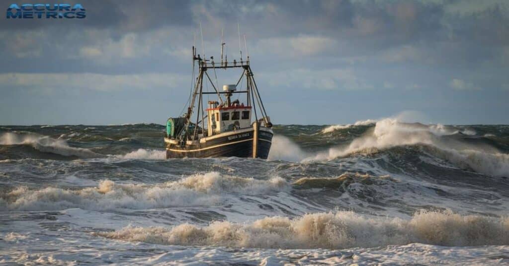
The North Sea is one of the world’s most significant economic hubs, supporting multiple industries, including fishing, oil and gas extraction, shipping, and renewable energy.
Oil and Gas Reserves
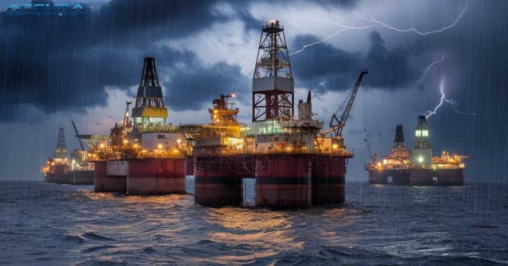
The North Sea is one of the most productive oil and gas regions globally, contributing a substantial portion of the energy supply for Europe. Since the discovery of the Forties Oil Field in the 1970s, it becomes a major source of fossil fuels. Countries like Norway and the United Kingdom are among the largest producers in the area.
- Oil Production: In 2022, the North Sea’s oil production was estimated at around 2.5 million barrels per day.
- Natural Gas: The North Sea is also home to some of the largest natural gas fields, including the Grangemouth field in the UK.
Read More “How Far is 50 kilometers (km)? 11 Common Comparisons”
Fishing Industry
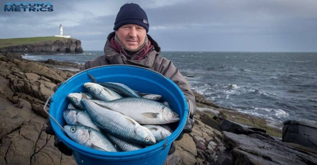
The North Sea is vital for the fishing industry, supporting large populations of cod, haddock, whiting, and mackerel. The shallow waters of the southern part of the sea are particularly rich in fish, which makes it a key area for European fisheries.
| Fact | Details |
|---|---|
| Key Role in Fishing Industry | The North Sea supports large populations of fish species. |
| Fish Species | Cod, haddock, whiting, mackerel. |
| Rich Fishing Area | The southern part of the North Sea with shallow waters. |
| Economic Impact | The fishing industry generates billions in revenue annually. |
| Importance for European Fisheries | A vital area for fishing and supports European fisheries. |
Shipping and Trade Routes
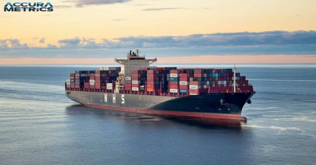
The North Sea is an essential maritime corridor for international trade. It serves as the main route between ports in the United Kingdom, the Netherlands, Germany, Denmark, and Norway. It connects to the English Channel, which leads to the Atlantic Ocean, facilitating goods transport to the Americas and beyond.
Marine Life and Ecosystems
The North Sea is home to a diverse range of marine species, from fish to sea mammals, making it a rich ecosystem. However, this ecosystem faces numerous threats from human activity, including overfishing, pollution, and climate change.
Marine Biodiversity
The North Sea is home to various marine species, including:
- Fish: Cod, haddock, whiting, and mackerel.
- Sea Mammals: Harbour seals, grey seals, and porpoises.
- Birdlife: This is also a significant area for seabirds, including puffins, gulls, and eiders.
Environmental Concerns
This Sea faces several environmental challenges:
- Overfishing: Overfishing has led to a depletion of key fish species like cod, making sustainable fisheries management essential.
- Pollution: Oil spills, plastic waste, and industrial pollution have damaged marine ecosystems in the region.
Conservation Efforts
Several countries bordering the North Sea have initiated conservation measures, including marine protected areas (MPAs) and regulations on fishing quotas. These measures aim to preserve biodiversity and ensure sustainable use of its resources.
Read Amazing about: “Mount Everest: Its Measurement and Other Fascinating Facts”
Political and Environmental Boundaries
The political landscape of this Sea is shaped by maritime borders and agreements between neighboring countries. The United Kingdom, Norway, Germany, Denmark, the Netherlands, and Belgium share jurisdiction over different parts of the Sea, with each country managing its Exclusive Economic Zones (EEZs).
Maritime Boundaries and Cooperation
- Fishing Quotas: Countries cooperate on setting fishing quotas and sustainable fishing practices to avoid overfishing.
- Oil and Gas Extraction: Territorial waters are defined by international law, with countries like Norway and the UK having significant offshore oil fields within their EEZs.
- Renewable Energy: Wind energy projects, particularly offshore wind farms, are part of international agreements for shared energy production and management.
FAQs
Can you swim in the North Sea?
You can swim in the area, but the water is usually cold, even in summer. Temperatures can drop below 10°C (50°F), so wearing a wetsuit is a good idea for longer swims. Many people visit the beaches to swim, but always check the weather and currents first.
What is the deepest spot in the North Sea?
The deepest point in the Sea is found in the Norwegian Trench, located to the north of the sea. This area reaches a depth of about 725 meters (2,379 feet), making it the deepest part of the sea. Most of the sea is much shallower, with average depths around 95 meters (312 feet).
Is the North Sea dangerous?
The Sea can be dangerous, especially due to its cold waters, strong currents, and unpredictable weather. Storms can appear suddenly, and the waters are known for their rough waves. It’s important to stay safe by following safety guidelines and always being cautious when swimming, sailing, or fishing in it.
Dimensions of the North Sea in meters
The Sea has these approximate dimensions:
- Length: About 1,000 kilometers (1,000,000 meters) from north to south.
- Width: At its widest, it stretches about 580 kilometers (580,000 meters) from east to west.
These measurements make the Sea one of the larger seas in Europe.
How big is the North Sea?
It covers an area of around 570,000 square kilometers (570,000,000,000 square meters). This makes it a significant body of water in northern Europe, touching several countries including the United Kingdom, Norway, Denmark, Germany, the Netherlands, and Belgium.
Read More “Mount Everest: Its Measurement and Other Fascinating Facts”
Conclusion
The North Sea is a vast and significant body of water with immense geographical, economic, and environmental importance. Its dimensions, depth, and subregions reveal the diverse characteristics of this essential waterway. From its role in global “oil production”.
The North Sea is not just important for shipping; it is also a hotspot for fish like cod and haddock. The sea plays a huge part in producing energy, especially oil and gas. Did you know it is home to some of the world’s busiest ports? Now that you have learned about the North Sea, let us see how much you remember.
North Sea Quiz
How long is this Sea?
a) 500 km
b) 800 km
c) 960 km
d) 1200 km
What is the maximum depth of this Sea?
a) 100 m
b) 312 m
c) 700 m
d) 2000 m
Which country does NOT border the North Sea?
a) Norway
b) Denmark
c) Spain
d) Netherlands
What type of fish is commonly found in the North Sea?
a) Salmon
b) Cod
c) Tuna
d) Trout
What natural resource is the North Sea known for?
a) Gold
b) Oil and gas
c) Coal
d) Diamonds
Which body of water lies to the southwest of the Sea?
a) Baltic Sea
b) English Channel
c) Mediterranean Sea
d) Black Sea
Which of these is a subregion of the Sea?
a) Gulf of Mexico
b) Dogger Bank
c) Red Sea
d) Bering Sea
Answers:
- c) 960 km
- c) 700 m
- c) Spain
- b) Cod
- b) Oil and gas
- b) English Channel
- b) Dogger Bank
Continue reading “15 Common Things That Are 5 Feet Long”

My name is Linda, and I am an experienced blogger with a passion for precision and craftsmanship. With years of expertise, I contribute to Accura Matrics, bringing a wealth of knowledge and a keen eye for detail. My insightful articles and expert tips are designed to help readers achieve excellence in their measurements and dimensions projects, offering valuable guidance in the pursuit of accurate and thoughtful design.

