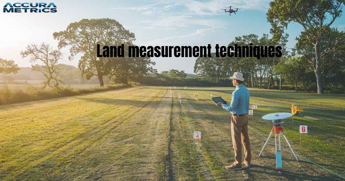
Understanding land measurement is essential for property buyers, developers, farmers, and anyone managing land. Accurately measuring land can prevent disputes, assist in legal matters, improve land use, and help calculate property value.
This guide will introduce you to the fundamentals of land measurement, providing insights on units, techniques, and tools to help you measure land confidently and precisely.
What Is Land Measurement?
Land measurement calculates a piece of land’s dimensions, boundaries, and area. This process is vital in real estate, farming, and development, ensuring proper ownership and accurate tax calculations while preventing disputes.
Introduction to Land Measurement
Land measurement is not simply about finding the area or boundaries of a piece of property; it is a detailed science that has evolved from ancient practices into modern day digital techniques. Accurately measuring land helps define property lines, assess property value, and prevent legal issues.
For anyone involved in land transactions, construction, or agriculture, understanding land measurement gives you clarity and peace of mind about property value and usage.
Purpose of Land Measurement
Land measurement is essential for various practical and financial reasons. Here is how it impacts different areas:
Property Value:
Accurate measurements are key to determining buying, selling, and tax calculations.
Construction Planning:
Precise measurements and boundaries are necessary to secure building permits and avoid disputes.
Agricultural Land Management:
For efficient crop planning and irrigation, farmers rely on accurate land area measurements.
Land measurement calculates a piece of land’s dimensions, boundaries, and area. This process is vital in real estate, farming, and development, ensuring proper ownership and accurate tax calculations while preventing disputes.
Read More “Trump Tower Dimensions: New York’s Iconic Landmark”
Importance of Land Measurement in Different Contexts

Land measurement is crucial across various fields. Here is why:
Agriculture:
Farmers use land measurements to determine crop yield, irrigation needs, and allocate resources.
Real Estate:
Accurate land values depend on precise measurements.
Construction:
Buildings rely on defined boundaries and area measurements for permits and layout.
Legal Matters:
Resolving boundary disputes and handling title transfers require clear measurements.
Common Land Measurement Units and Conversions
Various units measure land worldwide, and understanding these is essential for accurate transactions and reporting.
Overview of Common Units
| Unit | Equivalent Measurement | Commonly Used In |
| Acre | 43,560 square feet | USA, UK, Canada |
| Hectare | 10,000 square meters | International (metric system) |
| Square Feet | 0.092903 square meters | Residential properties |
| Square Meter | 10.764 square feet | Small parcels and buildings |
| Square Yard | 9 square feet | Gardens, small lots |
Read details about “North Sea Dimensions: A Complete Overview”
Converting Between Units
Converting units is necessary, especially if you are working in different regions or handling mixed requirements. Here is a quick guide:
- Acres to Square Feet: Multiply acres by 43,560.
- Square Meters to Acres: Divide square meters by 4,046.86.
- Hectares to Acres: Multiply hectares by 2.471.
Tip: Use an online conversion chart or calculator for quick, error free conversions, especially for large plots.
Traditional Land Measurement Techniques

While modern tools are more accurate, traditional methods have been used for centuries and can still be helpful in some scenarios.
Chains and Ropes
Historically, chains and ropes were used to measure land. A chain typically measures 66 feet, and ropes come in fixed lengths for smaller measurements. Although practical, these methods can be inaccurate due to stretching, sagging, or uneven terrain.
Pacing and Rods
Pacing measuring land by counting steps offers rough measurements on open land. People would calculate land length by determining the average length of their steps. Rods, measuring 16.5 feet, were also used to mark land parcels.
Limitations of Traditional Methods
Traditional methods often struggle with accuracy due to factors like terrain inconsistencies, human error, and limited precision over large distances.
Modern Methods of Land Measurement
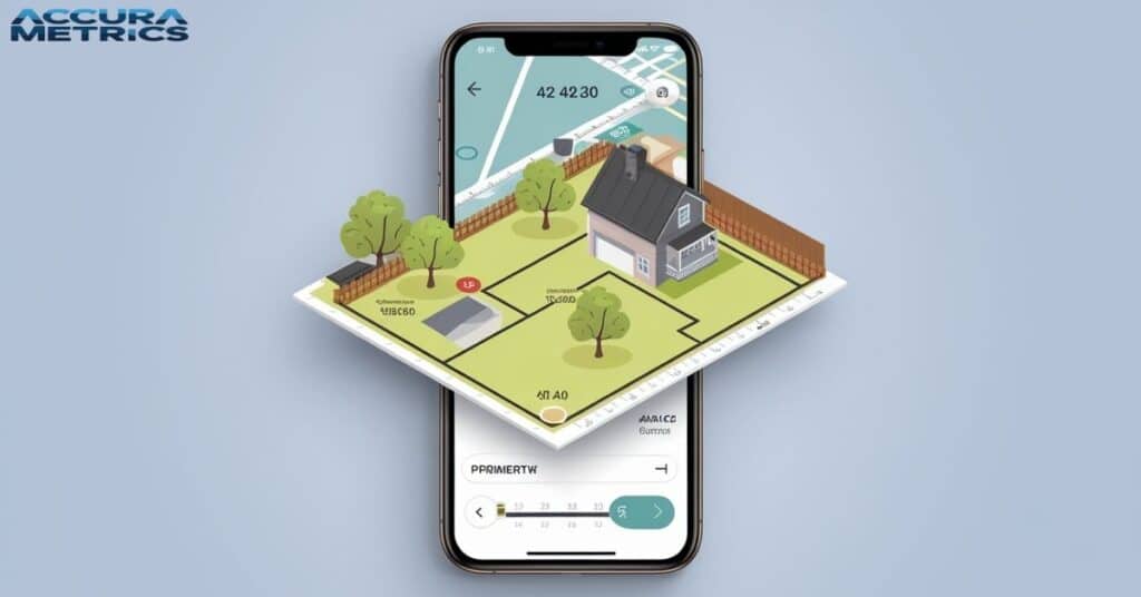
With today’s technology, land measurement has become more accurate and efficient, using devices like total stations, GPS, and drones.
Total Station Instruments
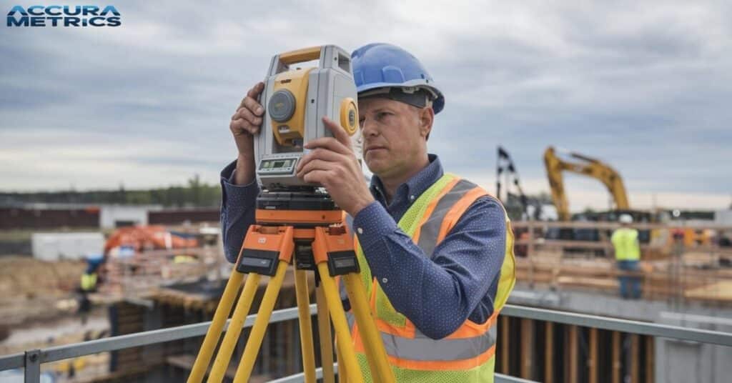
A total station is a digital device that measures angles and distances with high precision, ideal for surveying large areas. Total stations are commonly used in urban planning, road construction, and other applications that demand accuracy.
Theodolites
Theodolites measure both horizontal and vertical angles. Surveyors use theodolites in construction and engineering to map land accurately, often in conjunction with other tools.
GPS and Digital Mapping
GPS systems have transformed land measurement, providing precise coordinate data that can be converted into distances and areas. Digital mapping tools, such as Geographic Information Systems (GIS), offer visual representations of land dimensions, topography, and features.
Drone Surveys
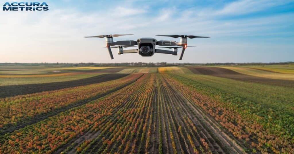
Drones allow aerial land mapping with high accuracy, especially for large plots. Equipped with high resolution cameras, drones capture detailed images, which are processed to create 3D maps.
Choosing the Right Method
Consider your budget, terrain, and the level of accuracy required when selecting a measurement method. Larger or legally sensitive plots may require professional grade tools.
How to Measure Land Yourself
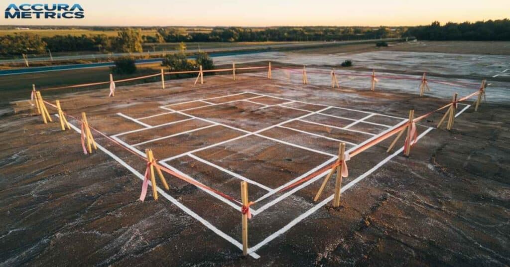
Even without professional survey tools, you can measure land effectively using basic tools.
Step by Step Guide
- Prepare Tools: Gather a measuring tape, GPS app (such as Google Earth), and markers or flags for boundaries.
- Set Boundaries: Identify property lines by locating markers or landmarks. If markers are missing, use GPS data or local records to define boundaries.
- Measure the Boundaries: Using a tape or GPS, measure the boundaries. For irregularly shaped plots, use triangulation to divide the area into smaller triangles.
- Record Data and Calculate Area: For square or rectangular land, multiply the length by width to find the area. For irregular shapes, measure each triangle individually and then sum up the totals.
- Common Challenges: Uneven terrain can complicate measurements. Using a longer tape or GPS can help with accuracy.
Read Further “Tiny House Dimensions: Average Size, Trailers, and Examples”
Hiring a Professional Land Measurement Surveyor
Sometimes, hiring a professional surveyor is the best option, especially for legal matters or complex plots.
When Professional Help Is Necessary
Consider hiring a surveyor for real estate transactions, legal boundary disputes, or construction projects needing precise measurements. Professionals bring expertise and tools that can prevent costly mistakes.
Choosing a Qualified Surveyor
Look for licensed surveyors with local experience and positive reviews. Request an estimate and scope of work to avoid misunderstandings about costs or deliverables.
Factors Affecting Land Measurements
Several factors can affect the accuracy of land measurements, including the shape of the land, terrain, and environmental conditions.
Land Shape and Topography
Irregular shapes and slopes affect measurements and may require advanced tools like theodolites or digital mapping for accuracy.
Environmental Factors
Weather, water, and vegetation can interfere with traditional measurements. In such cases, GPS or aerial mapping can provide better results.
Legal Boundaries vs. Physical Boundaries
Legal documents sometimes define boundaries differently than visible markers, so always verify legal descriptions with physical landmarks.
How Land Measurement Affects Property Value and Legal Disputes
Land measurement directly impacts property prices and legal matters, including disputes over boundaries and encroachments.
Influence on Property Value
Precise area calculations are essential for fair property assessments, affecting both taxes and market pricing.
Role in Legal Disputes
Boundary disputes and title claims often rely on certified land measurements to establish ownership rights.
Regulatory Requirements
Different regions may require certified surveys for real estate transactions or construction permits.
Tools and Resources for DIY Land Measurement
If you are measuring land yourself, some tools can make the process easier.
Smartphone Apps and Online Calculators
Apps like Land Glide or Geo Measure can assist with measurements. Many online calculators can convert units and help with area calculations.
Recommended Land Measurement Tools
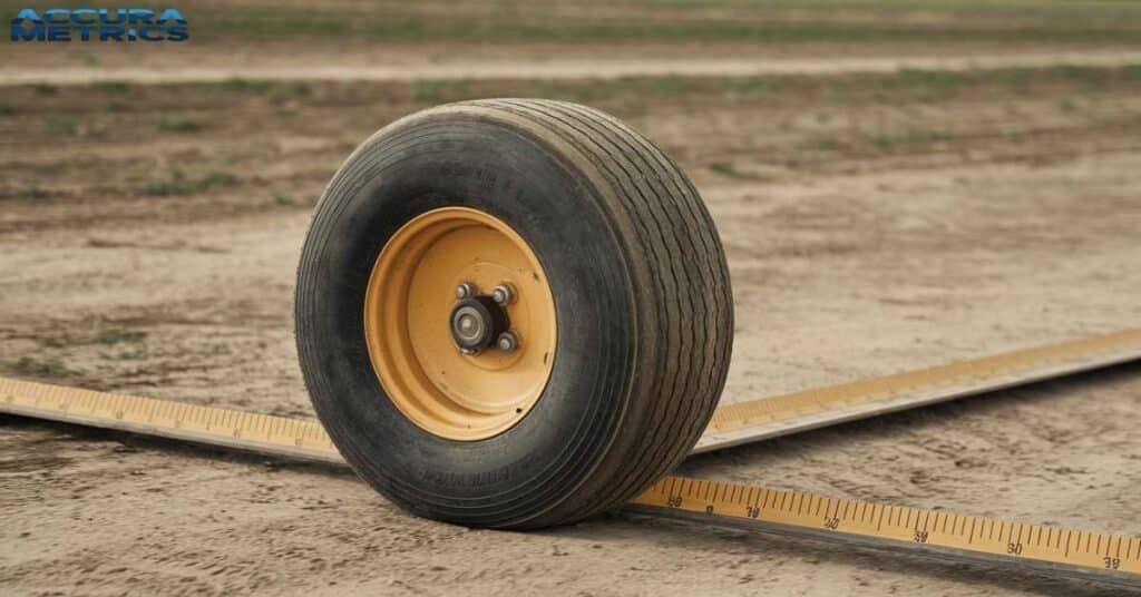
Affordable options include measuring wheels and laser distance meters, available at most hardware stores.
Recommended Reading
For a more in depth understanding, check out resources like the “Boundary Retracement” guide or the American Land Title Association’s website.
Tips for Accurate Land Measurement
Here are some best practices for accurate measurement:
- Double check your measurements.
- Mark boundaries visually for easy reference.
- Avoid common mistakes like skipping terrain adjustments or incorrect unit conversions.
Read More “How Far is 50 kilometers (km)? 11 Common Comparisons”
Case Study: Land Measurement for a New Home Construction
| Aspect | Details |
| Background | Suburban couple plans home on a 50 x 120 feet plot. |
| Challenge | No boundary markers; uneven terrain. |
| Solution | Hired land surveyor for GPS boundary marking. |
| Results | Clear boundaries for permits and design. |
| Outcome | Smooth construction within budget and timeline. |
| Lessons Learned | Precision prevents issues; professional surveyors are essential. |
Background:
A couple in a suburban area decided to build their dream home on an empty plot of land. The land was 50 feet wide and 120 feet long, but they needed accurate measurements for construction, zoning permits, and landscaping.
Challenge in Land Measurement:
The land had no clear boundary markers, and the terrain was slightly uneven. They needed to determine the exact boundaries to avoid potential disputes with neighbors.
Solution:
The couple hired a professional land surveyor to measure the plot accurately. The surveyor used a GPS system and a total station to mark the boundaries precisely. The surveyor also provided them with a detailed map showing the property’s shape and size, which was crucial for getting the proper permits.
Land Measurement Results:
With the accurate measurements, the couple secured the necessary permits, avoided legal issues, and completed the construction without complications. The clear boundaries also helped in creating a beautiful landscape design. The project finished on time and within budget.
Lessons Learned:
For anyone considering land development, accurate measurements are essential to avoid legal problems and ensure that construction proceeds smoothly. Hiring a professional surveyor is a good investment when precision is needed.
Land Measuring Can Be Fun and Surprising
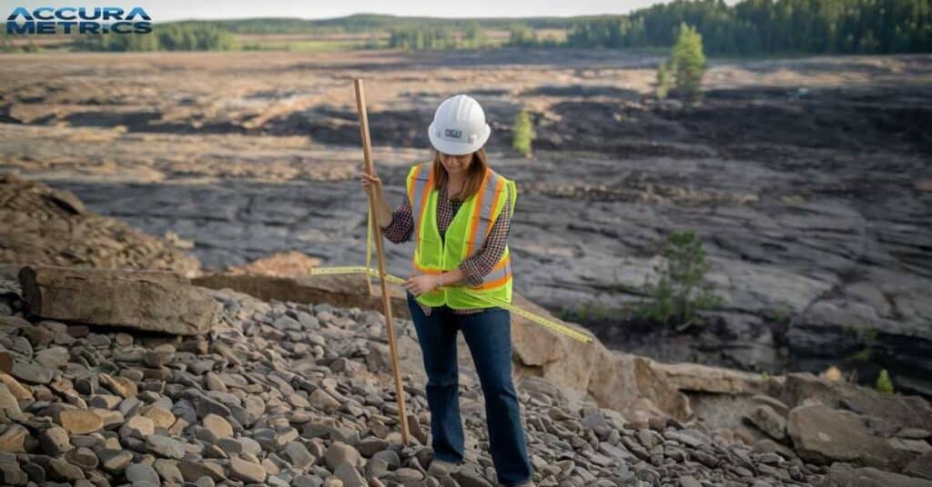
People have been measuring land for thousands of years. Ancient Egyptians used ropes and sticks to measure land, and the practice has evolved into modern techniques like GPS and drones.
Acre Is not Always the Same Size
An acre is a unit used to measure land, but did you know it originally came from the amount of land a team of oxen could plow in one day? That is a lot of history packed into one unit.
You Can Measure Land with Your Feet
Before fancy tools, people used their feet to measure land. It is called “pacing.” So, next time you are walking around, you could be measuring, too.
Land Surveys Can Be Done by Drones
Today, drones fly over large areas to take detailed pictures of land, making it easier to measure hard to reach places no climbing or walking required.
You Can Measure Land on Your Phone
There is an app for everything even measuring land. Apps like Google Earth let you map out areas and measure distances, all from the palm of your hand.
Read Amazing about: “Mount Everest: Its Measurement and Other Fascinating Facts”
FAQs About Land Measurement
What is the definition of land measurement?
Land measurement is the process of calculating the size, boundaries, and area of a piece of land. It helps determine property lines and can be used for buying, selling, or developing land.
How do you measure land?
To measure land, you can use tools like measuring tapes, GPS devices, or digital tools like drones and mapping software. You mark the boundaries, measure the sides, and then calculate the area based on the shape of the land.
What is a 50 by 100 plot of land?
A 50 by 100 plot of land means the land is 50 feet wide and 100 feet long. This is a common size for residential properties.
How many square feet are in one acre in the United States?
One acre in the United States is 43,560 square feet. It is often used to measure larger plots of land.
What does 640 acres mean?
640 acres equals one square mile. It is a common measurement for large pieces of land, especially in farming or real estate.
Conclusion about land measurement
Understanding land measurement is essential for anyone dealing with property, construction, or agriculture. With the right tools and a bit of knowledge, you can measure land accurately and avoid potential disputes. If needed, consider hiring a surveyor for precision and peace of mind.
By following these steps, you will be ready to approach land measurement confidently, whether for personal or professional purposes.
Land Measurement Quiz: Test Your Knowledge.
- What is the most common unit for measuring land in the United States?
- A) Acre
- B) Square meter
- C) Hectare
- D) Square foot
- What is the size of one acre in square feet?
- A) 1,000 square feet
- B) 43,560 square feet
- C) 10,000 square feet
- D) 100,000 square feet
- Which tool is commonly used for accurate land measurement today?
- A) Measuring tape
- B) Chains and ropes
- C) Total station
- D) Pacing
- True or False: The size of a football field is roughly one acre.
- How many acres are in a square mile?
- A) 10 acres
- B) 160 acres
- C) 640 acres
- D) 1,000 acres
Answer Key:
- A) Acre
- B) 43,560 square feet
- C) Total station
- True
- C) 640 acres
Read More “How Big Is 10 Inches Compared to An Object?”

My name is Linda, and I am an experienced blogger with a passion for precision and craftsmanship. With years of expertise, I contribute to Accura Matrics, bringing a wealth of knowledge and a keen eye for detail. My insightful articles and expert tips are designed to help readers achieve excellence in their measurements and dimensions projects, offering valuable guidance in the pursuit of accurate and thoughtful design.

